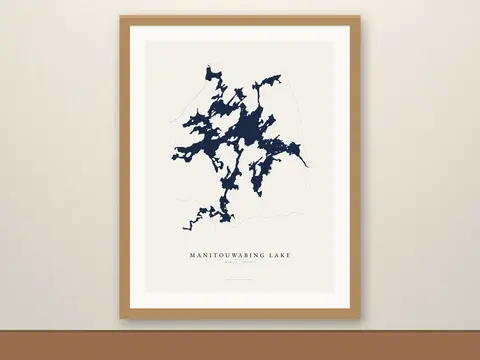
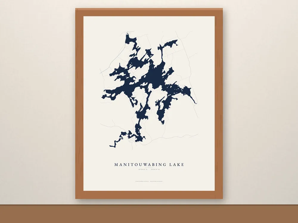
Framed Manitouwabing Lake Map
C$119 CAD
A framed Manitouwabing Lake map, ready to hang when it arrives. Drawn from real shoreline data, its long bays and islands in place, from McKellar village along Highway 124, east of Parry Sound.
- Free shipping in Canada, with tracking. Canada only for now.
- Made to order just for you.
- Christmas: Framed maps take a little longer to make. For Christmas delivery in Canada, order by Friday, December 4 at the latest; earlier is safer.
About this map
A framed Manitouwabing Lake map, ready to hang when it arrives. Drawn from real shoreline data, its long bays and islands in place, from McKellar village along Highway 124, east of Parry Sound.
The same art as our unframed prints, in a wood frame with an acrylic front and the hanging hardware already attached. No mat and no trip to the frame shop.
Details
- 12 x 16 in print, about 13.5 x 17.5 in framed. The map runs to the frame edge, with the art's own paper margin around the lake.
- Frame: Black or Red Oak finish (ayous wood, 0.75 in thick).
- Enhanced matte paper, 189 gsm (10.3 mil), fade-resistant inks
- Shatterproof acrylic front (lighter and safer to ship than glass)
- Hanging hardware included
- Lake name set in EB Garamond, with the lake’s coordinates (45°28′23″ N · 79°54′14″ W)
Care
Keep it out of direct sun and damp.
Shipping
- Free shipping in Canada, with tracking.
- Made to order: allow 3–5 business days for production, then usually 3–8 business days in transit.
- Framed maps take a little longer to make. For Christmas delivery in Canada, order by Friday, December 4 at the latest; earlier is safer.
- We ship within Canada only for now.
About the photos
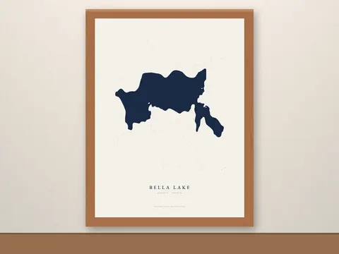
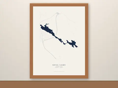
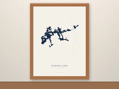
All photos are digital mockups made directly from the print files, with no AI-generated imagery. The map artwork is not AI either; we draw it from OpenStreetMap shoreline data.
Map data © OpenStreetMap contributors, available under the Open Database License (openstreetmap.org/copyright).